With temperatures getting cooler in the upcoming days, a meteorologist says this could bring some relief for firefighting efforts.
“Certainly it’s becoming more fall-like, as opposed to summer-like,” said Terri Lang, meteorologist with Environment and Climate Change Canada (ECCC). “Temperatures are really starting to get more towards average values for this time of year instead of way above average.”
The 30-year average high this time of year is around 7 C, while the overnight low is closer to 1 C.
“These are the kind of temperatures we are currently experiencing,” said Lang.
In addition to cooler temperatures, she said some weather systems are moving through the area, bringing rain to dampen flames.
Lang added that a system moving through Tuesday is expected to generate some shower activity. In addition, there might be a couple more systems toward the end of the week.
“Although they don’t appear in the weather forecast yet, these weather systems continue to move through,” she said on Monday. “The expected rainfall is in the range of about five to 10 millimetres.”
From Wednesday through Thursday, northwesterly winds are expected to gust as high as 40 kilometres per hour. Despite this, when it’s not as hot and dry, fire behaviour is not as aggressive and winds therefore don’t play as big a part, according to Lang.
She added that while the special air quality statements remain in effect, people should continue to be aware of effects on their health conditions.
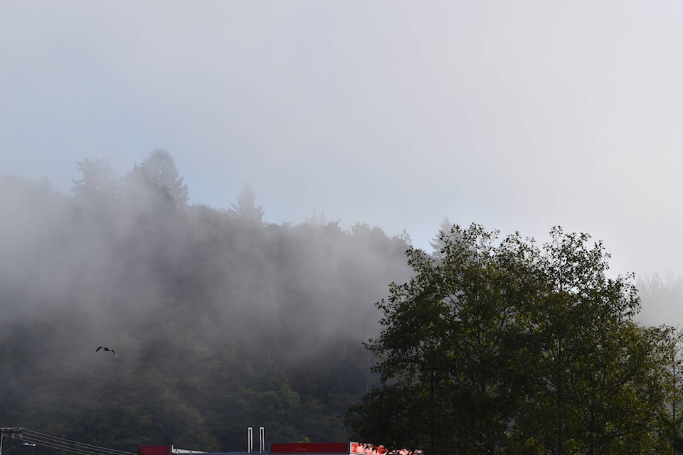
Trista Haugland, information officer with NWT Fire, noted that there are much higher levels of moisture in the air recently.
She said wildfire crews working on the Behchoko blaze are continuing to protect items of value while also beginning to demobilize equipment.
Though Haugland wouldn’t predict how long the fire activity will last, she said it’s slowing down with the change in temperatures.
“It will get better as the days go on with the downturn in temperatures like we’re seeing Wednesday,” she said.


