A high resolution map of the Inuvik-Tuktoyaktuk Highway (ITH) by the University of Alaska in Fairbanks is now complete.
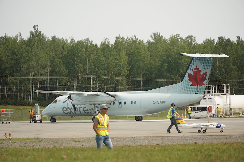
Commissioned by the Government of the Northwest Territories (GNWT) and the Department of Fisheries and Oceans (DFO) in 2019, the project was carried out by the (ACUASI.) An unmanned aircraft, dubbed the SeaHunter, flew out of Mike Zubko airport to photograph the 138-kilometre highway. Over 60,000 high definition photos were taken in the project, resulting in several terabytes of data.
“With the support of the local Fisheries Joint Management Committee and Government of Northwest Territories, Fisheries and Oceans Canada was excited to utilize the SeaHunter as an opportunity to test remotely piloted systems in Canada’s north, where access can be limited,” said GIS coordinator Carolyn Bakelaar.
Because the highway crosses numerous streams both Inuvialuit and Gwich’in rely on for fishing, the DFO wanted a way to monitor any changes to the watershed.
Before taking off, the 136-kilogram SeaHunter first was outfitted an array of sensory equipment and flight plans were mapped out so it could cover every inch of the highway. Photos were snapped every second by the remote aircraft, which was piloted from the ground using a satellite-relay network. Flights could last up to eight hours and usually were stopped because the plane’s hard drives ran out of room, not because it needed to refuel. Planning the logistics for the project itself took two years to complete.
First of its kind
This is the first long-distance, remotely controlled aircraft to make use of Mike Zubko airport. Historically, large mapping projects in Canada’s north are completed using piloted airplanes and LiDAR — using lasers to measure elevation and other distances. However, removing the pilot from the system and replacing it with specialized computer software allows for mapping at vastly greater detail. It’s also far more fuel-efficient.
“Typical human piloted photo surveys are done at 20-30 cm pixel resolutions, whereas the highest resolution satellite imagery also comes in at 30 cm pixels,” said unmanned aircraft systems coordinator Jurjen van der Sluijs. “With a resolution of 6 cm, the Inuvik-Tuktoyaktuk Highway imagery can therefore show more detail than what is otherwise available.”
After the SeaHunter completed its flights, the 60,000-plus photos were taken back to the University of Alaska where remote sensing specialist Eyal Saiet painstakingly stitched them together. Using a process called photogrammetry, the photos were pieced together into a high resolution map.
There will be little rest for the remote aircraft. ACUASI also routinely works with DFO to monitor right whale activity in the Atlantic Ocean and will do so again this summer. The focus of that project is to minimize and prevent collisions between the whales and cargo ships.


